CSC Motorcycle Owner’s Rally: Moab, Utah 2019
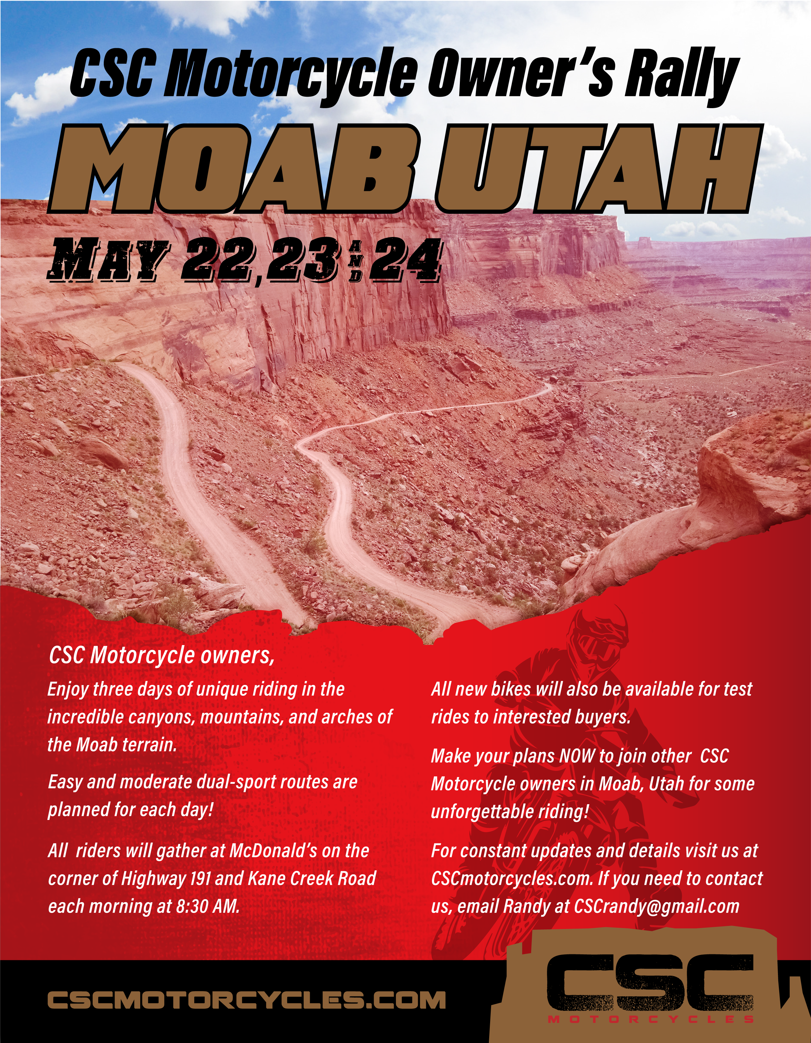
For the first time in 2019, CSC Motorcycles will sponsor a “CSC Owners’ Rally” in Moab, Utah on May 22, 23, and 24.
CSC Motorcycle Owners will arrive in Moab, Utah on the afternoon of May 21st. There will be time to tour the cool, old mining town. If you haven’t been there, don’t miss a side trip to Arches National Park.
There are numerous motels, B & B’s, and cabins to rent in the Moab area. There are also several campgrounds, some of which have small cabins that accommodate several people. If you are into roughing it, Moab is surrounded by Forest Service land with primitive campsites with minimal facilities, and BLM lands where free boondock camping (no facilities) is permitted.
There are festivals, car shows, and rallies every week during the summer in Moab. Riders are encouraged to make reservations as soon as possible to secure a spot at the best rates. See also www.DiscoverMoab.com.
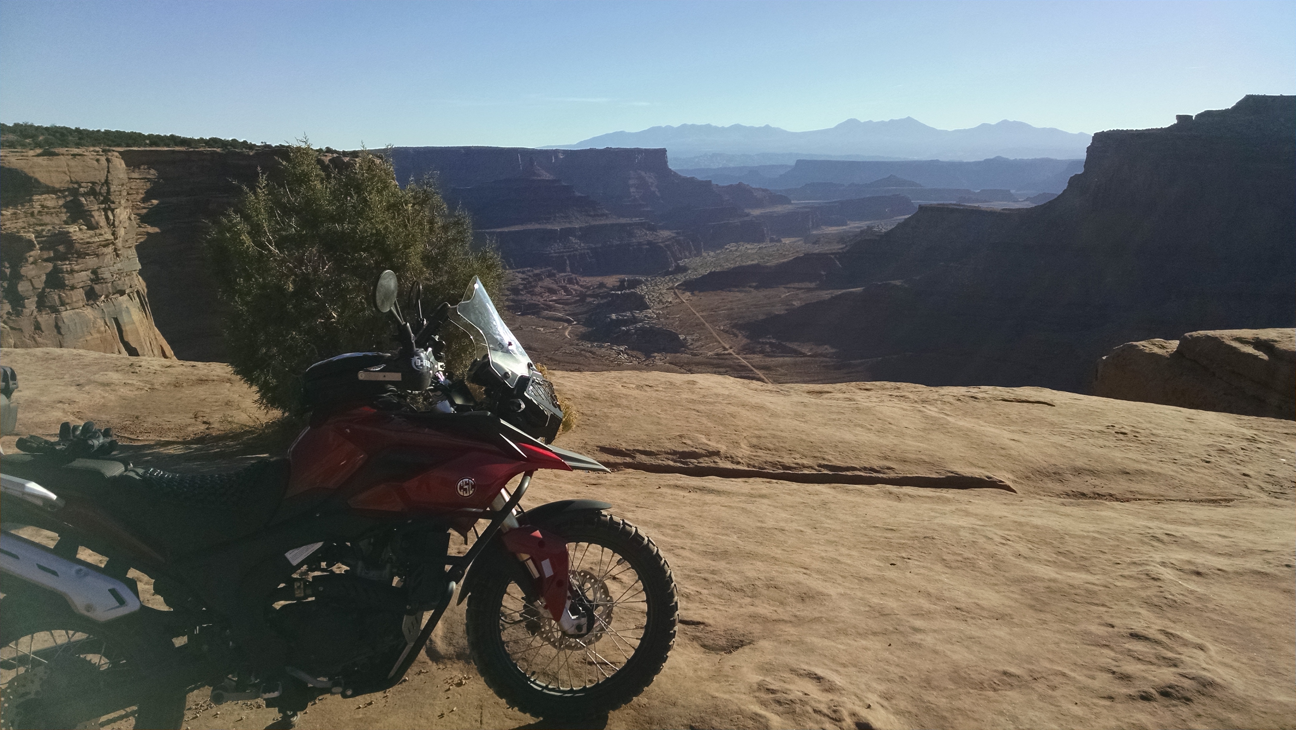
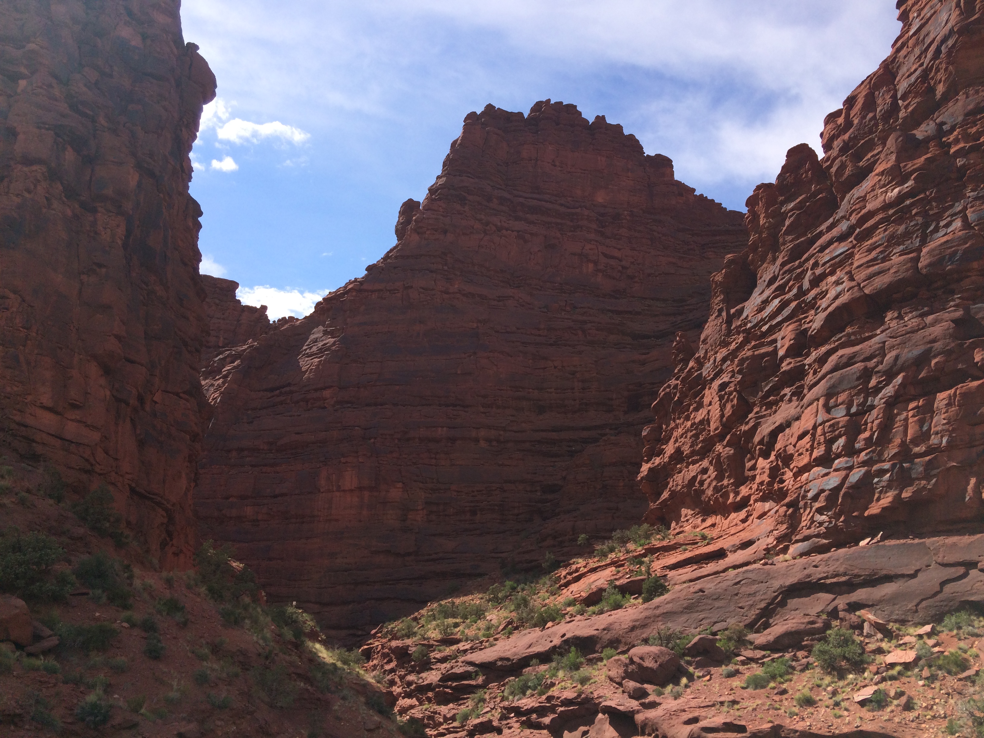
The Moab area has scenery that cannot be matched anywhere in the U.S. There are unlimited routes and trails for EVERY type of motorcycle. Each day will include two planned rides, with an easy and harder dual-sport route option. Randy will be leading the easy rides each day. Other experienced riders will pair up for the additional moderate routes.
All riders will gather each morning at 8:30 am at McDonald’s on the corner of Kane Creek Road and Main street (Highway 191). The following daily routes are planned, with last minute changes a possibility depending on riders and weather. Note that most of these routes enter National Park lands and an entry fee is required – you may want to get an annual pass to save on daily fees.
Please also note that CSC Motorcycles is helping to coordinate these rides. CSC Motorcycles assumes no responsibility for riders who choose to participate. There is no charge or payment required to CSC Motorcycles. All riders assume 100% of the costs and risks of participation.
EASY dual-sport riding routes suitable for RX3 and TT250: (knobby tires recommended.)
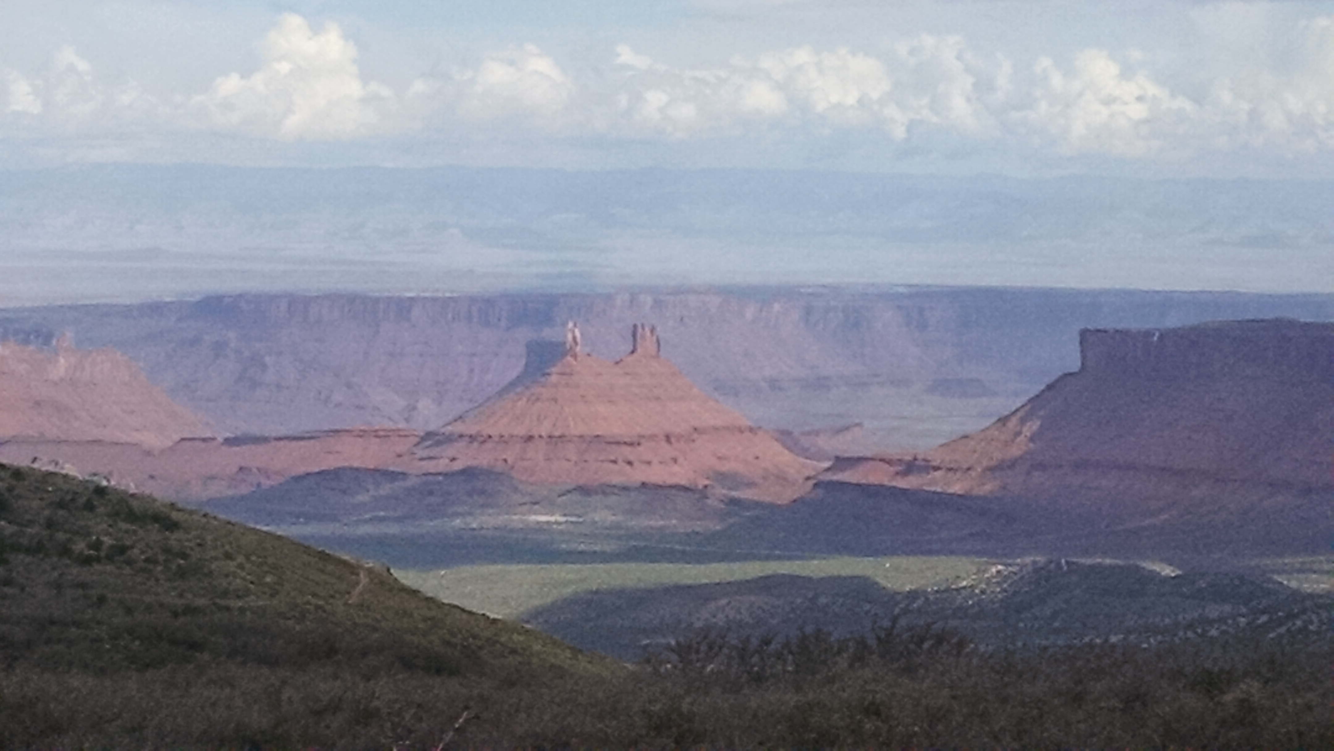
May 22. La Sal Mountain Loop Road. This is a 63-mile loop on paved roads – but with fantastic scenery in the Manti-La Sal Mountains and overlooks of Castle Valley. (https://www.discovermoab.com/la-sal-mountains) This highway loop is also suitable for street bikes, including the SG250 San Gabriel! Side trips to Fisher Towers and Onion Creek will add 23 miles of off-road dual-sport riding including over 20 shallow water crossings. Another 20 miles of highway adds a stop at the Dewey Bridge, the first bridge over the Colorado River. (Funtreks route #36)
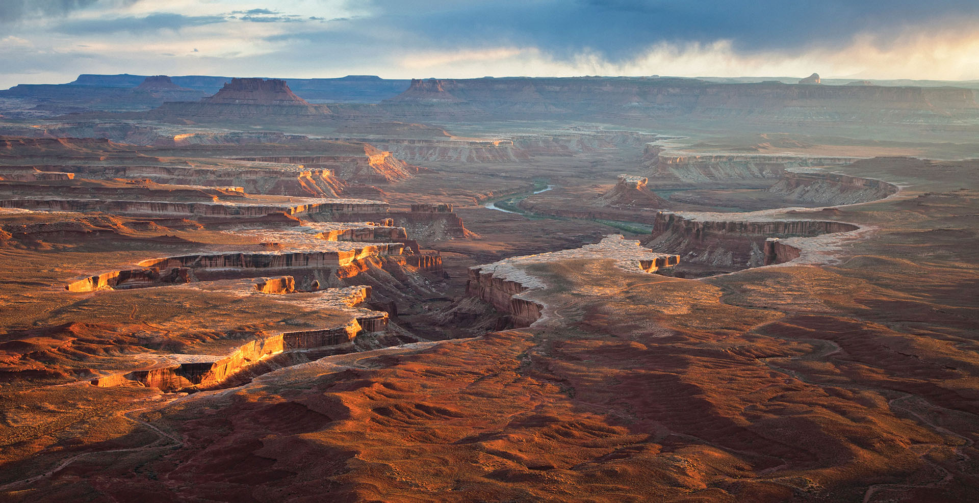
May 23. Canyon Rim Overlooks. This route includes Needles Overlook, Canyonlands Overlook and Anticline Overlook, plus two arches, cave homes, and a natural cistern. The total distance is about 96 miles, including about half highway and half unpaved easy roads. (Funtreks route #51)
May 24. Potash Road along the Colorado River to scenic overlooks, including “Thelma & Louise Point”. Continuing on the White Rim Trail to Musselman Arch. Return via thrilling Shafer Switchbacks. Optional side trips to Island in the Sky, Deadhorse State Park, and Long canyon trail. Total distance is 52 miles to over 84 miles with optional side trips. (Funtreks route #45, #18)
Moderate dual-sport routes Suitable for experienced RX3, and TT250 riders – knobby tires REQUIRED: (Each rider must also carry tools, spare tubes, lunch, and a minimum of 1-gallon of water.)
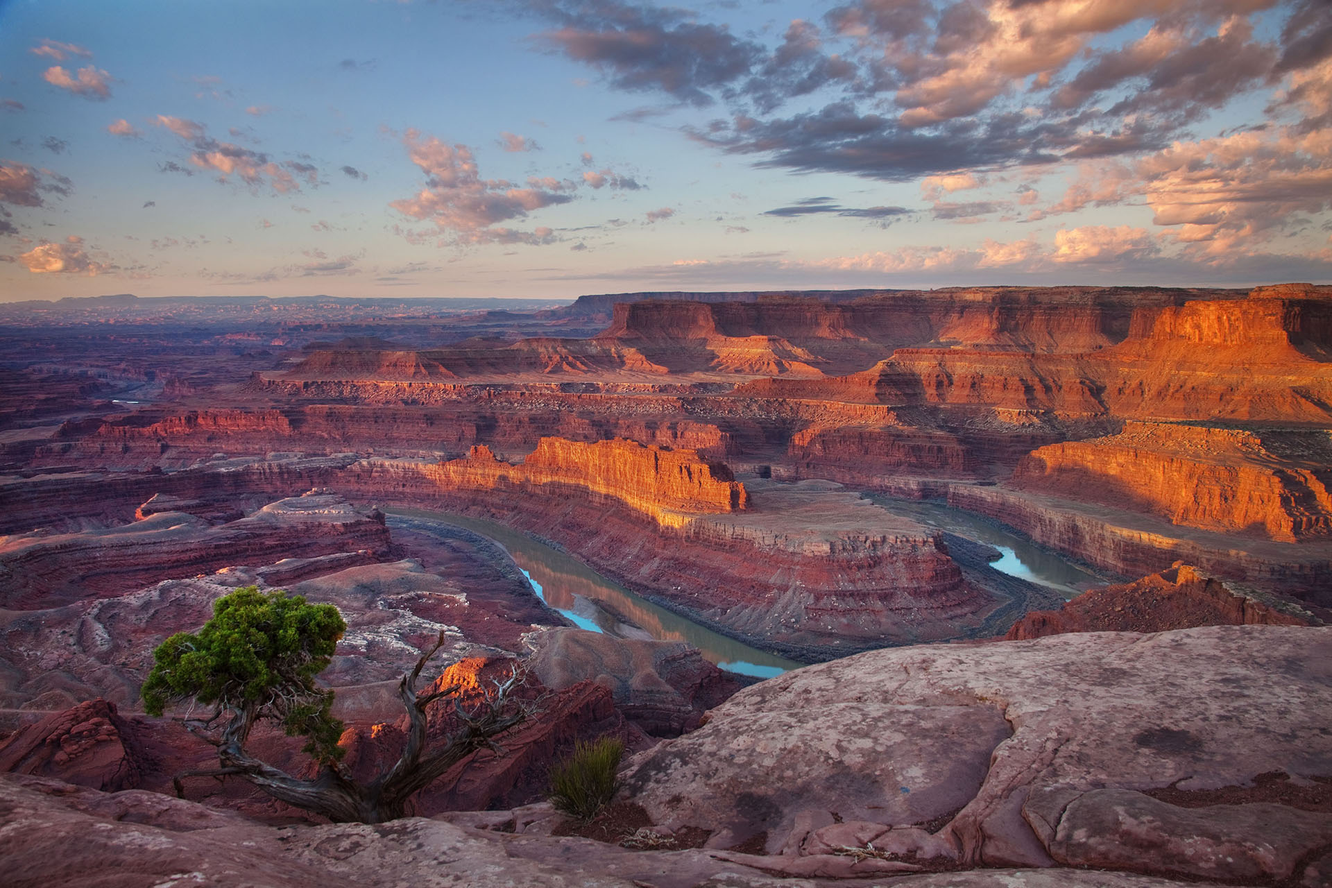
May 22. Chicken Corners. (Funtreks route #48) This is a moderate trail that includes the overlook of canyons and the Colorado River at Hurrah Pass. The trail continues through canyons and along the rim with sheer drops over 1,000-feet to the river below. This trail is out-and-back with different scenery highlighted each direction. The total distance is 51-miles.
Note: If planning to ride the White Rim Trail, obtain your motorized vehicle permit on May 22!
May 23. White Rim Trail. (Funtreks route #46) This is a moderate but LONG trail with difficult uphill and downhill sections, loose rocks, sand and slick rock. The unpaved trail is 90-miles, plus 40-miles of pavement riding to and from Moab for a total distance of over 130 miles. (TT250 riders should carry an extra 0.5-gallon of gas!) Note: Day Use permits are required. EACH rider must obtain a permit at a Canyonlands district visitor center or online at https://canypermits.nps.gov up to 24 hours before the ride. Rain date: May 24.
May 24. Sand Flats Road to La Sal Mountain Loop to Thompson Canyon to Onion Creek Road. (Funtreks #34, 41, 36) Ride Sand Flats Road east of Moab, past some of the famous slick rock formations. Climb over 8,000 feet into the mountains, with views down to the iconic scenery of Castle Valley. Ride down Thompson canyon through old mining country, and finish in Onion Creek, with over 20 water crossings in the narrow canyon. Distance is 33 miles, plus return to Moab for a total of 54 miles. Side trips to Fisher Towers (add 6 miles) or Dewey Bridge (add 20 miles.)
Alternative: La Sal mountain ride. Forest roads 127, 128 Pack Creek, 073, 123 La Sal Pass Road to La Sal. Return via 174 Black Ridge Road and 173 to Hwy 191 into Moab. (See UTBDR tracks for Section 2.)
For further information, see also Funtreks Guide to Moab, UT: Backroads & 4-Wheel Drive Trails (funtreks.com) and Backcountry Discovery Routes (www.ridebdr.com)
With the exception of the White Rim Trail, these planned routes will not take all day to complete. CSC Motorcycles is also bringing new motorcycles for demo rides – including the new 2020 RX4! There will be sufficient time for sight seeing on other roads close to Moab. In each case, riders will be gather for pictures at the start of the ride, and check in with Randy at the end of the day.
Please contact Randy with any questions at CSCrandy@gmail.com. Please also confirm your date of arrival and departure, as well as your planned routes each day.








 TT250 Enduro
 SG250 San Gabriel Cafe Racer
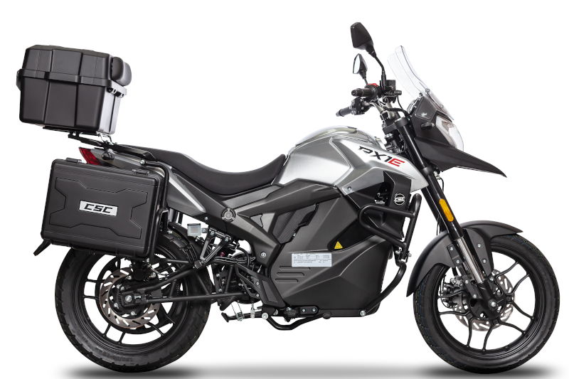 RX1E Electric Motorcycle