My good buddy J Brandon (who has ridden with us in Baja before) read the blog yesterday and he offered great suggestions on the cellphone-as-GPS question. J knows way more about high-tech cellphone gizmo magicry than I ever will, and he sent this note to me regarding using your cellphone as a GPS…
Joe:
Regarding phone apps for navigation in Baja: On my three most recent trips I’ve had good success just using Google Maps on my iPhone. I make sure I’ve got data coverage through my carrier (Verizon) before I leave the US. Once I cross the border the phone connects to a local carrier, usually TelCel or Moviestar, and Google Maps works just as it does back home in Nevada. Meaning it works when I have a data signal. And often when I don’t because Google Maps downloads maps into your phone for use when you are out of cell range. It doesn’t work all the time but it is tremendously useful for getting through the bigger towns without getting lost. In November 2015 I used it to navigate around the start line of the Baja 1000 in Ensenada.
And, as you say, once you are south of Ensenada it is difficult to get lost.
Looking forward to riding with you again. This will be my sixth Baja trip, my third with you, and my fourth riding a motorcycle there.
Hasta, amigo.
J
Muchas gracias, J. These are good inputs appreciated by all. I’ll download Google Maps on my cellphone today.





 SG250 San Gabriel Cafe Racer
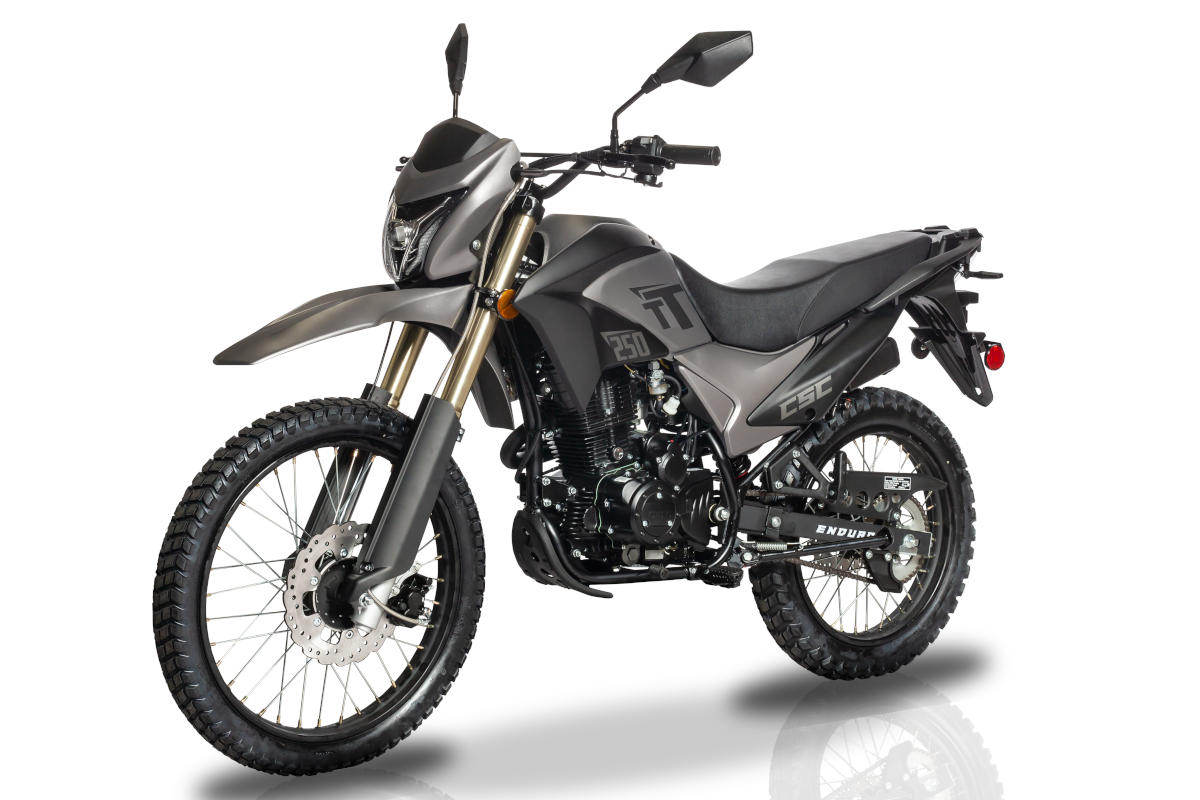 TT250 Enduro
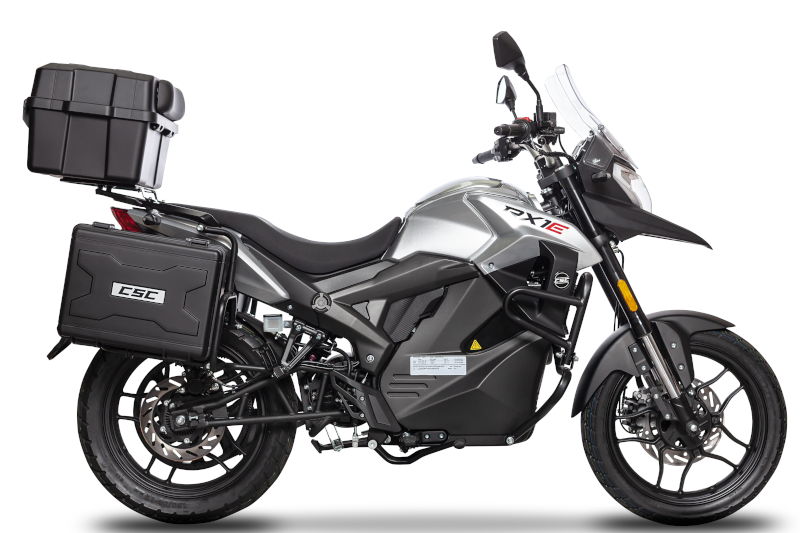 RX1E Electric Motorcycle