Day Two will take us from El Rosario to Santa Rosalia, and it will be our second relatively high mileage day (it’s 365 miles from El Rosario to Santa Rosalia). Day One and Day Two are the two highest mileage days we’ll do on our Baja adventure, and they’ll take us to our turnaround city of Santa Rosalia.
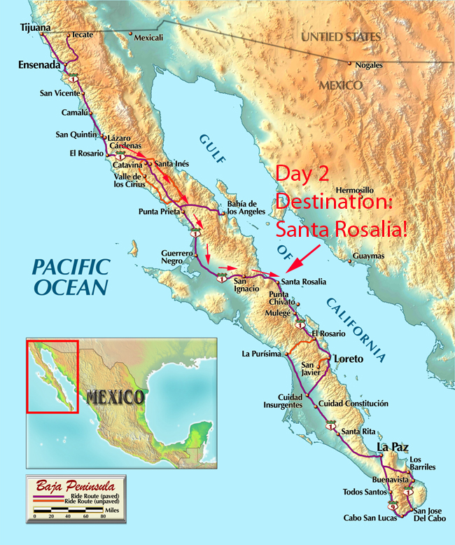 After breakfast at Mama Espinoza’s, we’ll roll through town and cross the Rio El Rosario. There’s not much to the town, but the bridge across the river is really something (actually, the riverbed is a dry wide gulley in which I’ve never seen water). The bridge is long and straight as an arrow, and after we cross it, we’ll enter the Vizcaino Desert.
Awesome is a word I use a lot when talking about Baja, and for good reason: The Vizcaino Desert is, well, awesome.

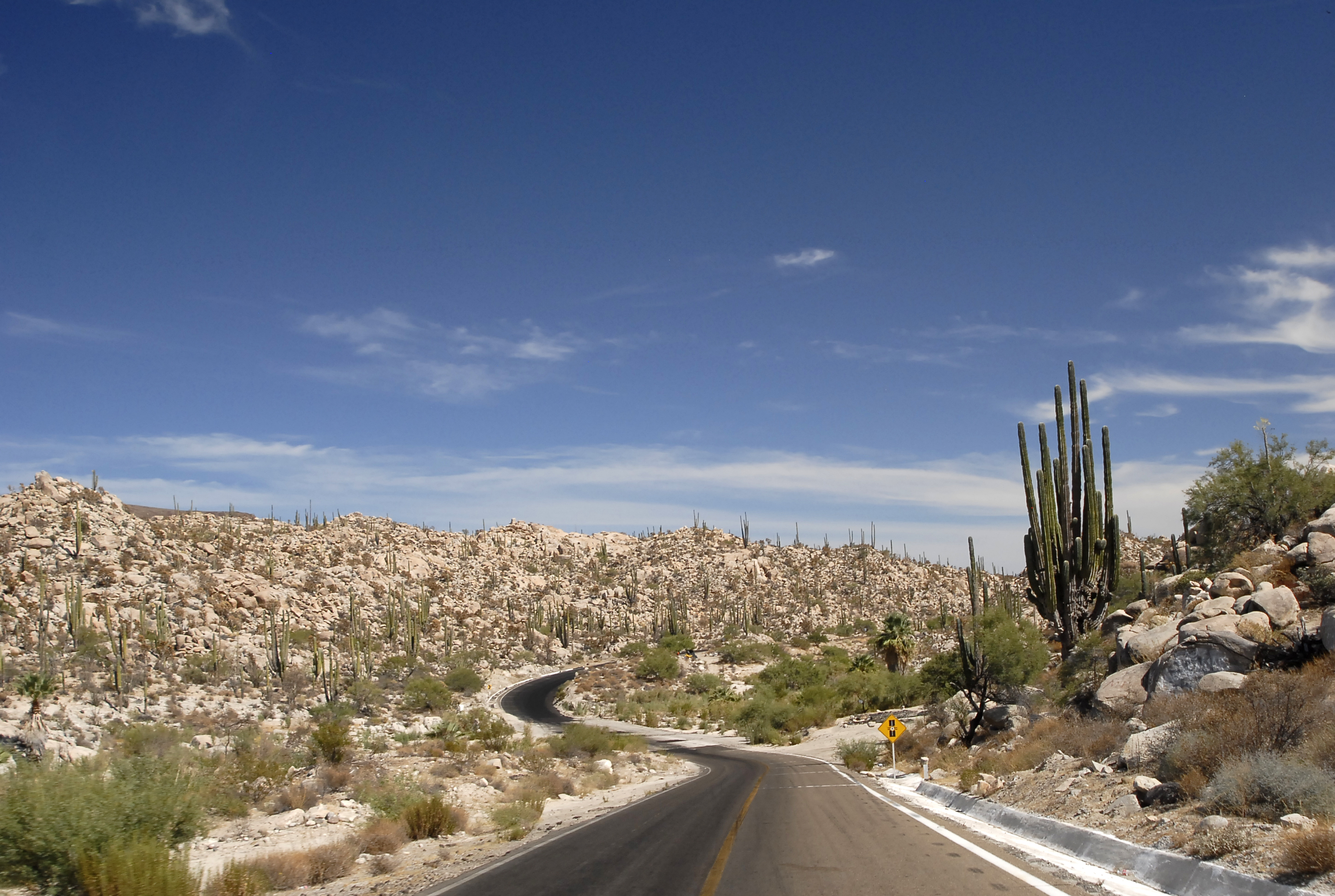
With our entry into the Vizcaino Desert, we’ll be entering another world. It starts with a climb into the desert mountains (I know, that sounds strange, but you’ll see) and then we’ll run the ridges for the next 30 miles or so.
I hope you’re not bothered by heights. I only say that because one time when I was leading a group of guys I used to work with through this region one of the guys was apparently bothered by heights. He complained afterward. “You didn’t tell me there would be mountains.” Folks, there will be mountains. And they are beautiful.
The Vizcaino Desert is a unique ecosystem, with multiple plants endemic to the region (that means they grow only there, and no place else on Earth). The Dr. Suess-like boojum (you’ll know what I mean when you see them) and the giant cardon cactus are in this category. We’ll see candelabra cactus and a variety of agaves. As I’ve said before, you’ll want to bring a camera. We’ll stop several times…there will be lots of photo ops.

While we’re in the Vizcaino Desert (named, incidentally, after the Spanish explorer), we’ll roll through the Catavina boulder fields. That photo I like to use of Baja is from this area. “Other worldly” is an apt phrase. You’ll see.
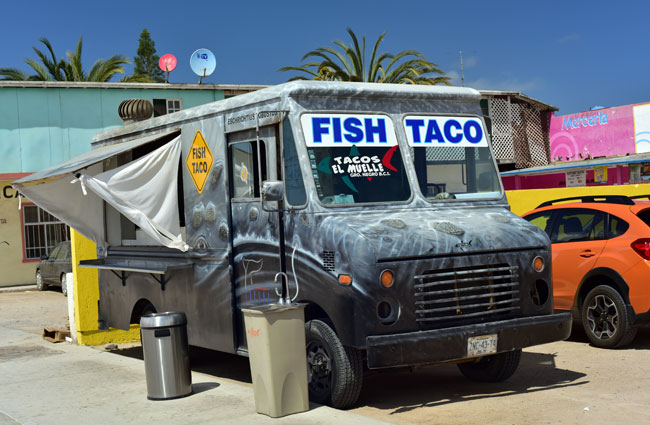
After the Vizcaino desert, we’ll enter Baja’s western coastal plains. These are the lowlands along the Pacific. You can think of Baja as a long tilted plank stretching south, with the eastern edge of the plank (along the Sea of Cortez side) being higher than the western edge (along the Pacific side). When we hit Guerrero Negro (named after the Black Warrior, a ship that sank off the coast of this region a couple of hundred years ago) , we’ll stop for fish tacos at my buddy Tony’s truck.
Guerrero Negro is the last town we’ll hit on the Pacific side while we’re headed south. From there we head diagonally southeast across the peninsula. We’ll roll through the volcanic flows preceding the date farms of San Ignacio, we’ll stop to see the church, and then roll toward our late afternoon destination, Santa Rosalia.

That ride, like the rest of the day’s journey, will be epic. We’ll see a volcano. No kidding. A real volcano – it’s called Las Tres Virgenes.

And then we’ll be into the downhill run known as La Questa del Infierno. It’s the descent down the left side of the plank that forms the Baja peninsula. No stopping for photos on this one, boys and girls. You’ll see what I mean once we get into it, but as a heads up, take a look at this video Carlos, Maria, and yours truly made a couple of years ago rolling through this region…it’s an E-ticket ride!
We’ll bunk at Santa Rosalia’s Frances Hotel that night, and we’ll have dinner at the El Muelle (great seafood, steaks, and I hear the Mexican food is really good, too). There are lots of sights to see in Santa Rosalia, and if I get a chance, I’ll post some of them here later. You’ll love Santa Rosalia. It’s one of my favorite towns in Baja, but hey, they’re all favorites.
And that’s it for today, folks. As you know, I’m up north in British Columbia, and my day is about to start.
Adios, for now.
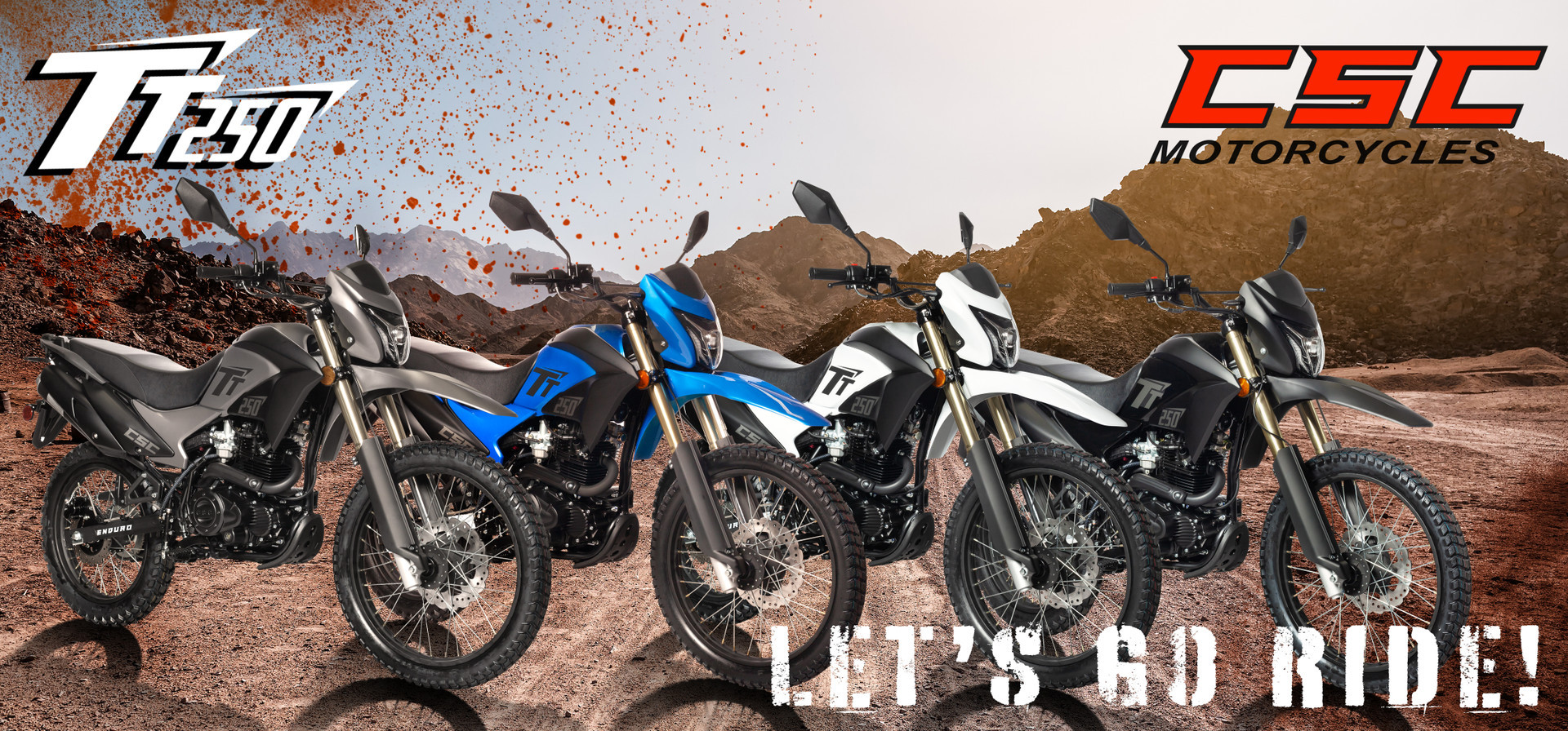
 TT250 Enduro
 SG250 San Gabriel Cafe Racer
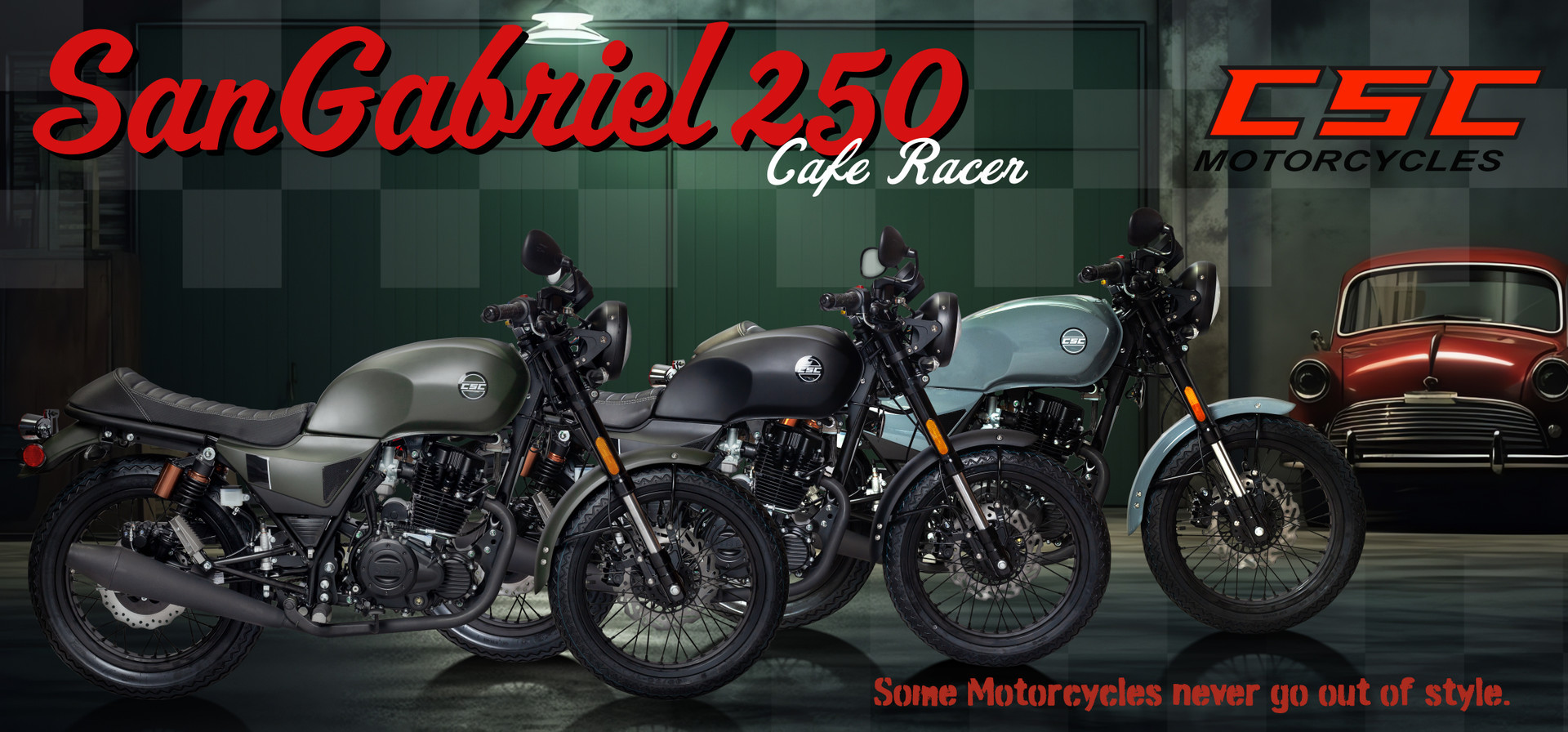